Mine Surveying and Surface Modeling for Open Pit Operations Using Geovia Surpac
Course Overview
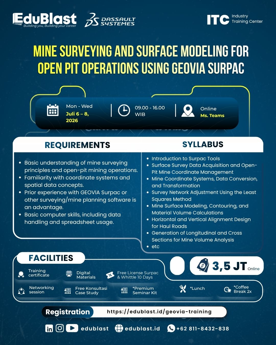
Mine Surveying and Surface Modeling for Open Pit Operations Using Geovia Surpac
Learning Materials & Syllabus
Syllabus:
- Introduction to Surpac Tools
- Surface Survey Data Acquisition and Open-Pit Mine Coordinate Management
- Mine Coordinate Systems, Data Conversion, and Transformation
- Survey Network Adjustment Using the Least Squares Method
- Mine Surface Modeling, Contouring, and Material Volume Calculations
- Horizontal and Vertical Alignment Design for Haul Roads
- Generation of Longitudinal and Cross Sections for Mine Volume Analysis
- Mine Progress Monitoring and Production Volume Reconciliation
- Preparation of Mine Survey Drawings: Pit Plans, Sections, and Data Consistency Reports
- Integration of Mine Survey Data with Google Earth and CloudCompare
Training Schedules
| BATCH | DATE RANGE | STATUS |
|---|---|---|
| Batch #1 | 04 May - 06 May 2026 | Completed |
| Batch #2 | 06 Jul - 08 Jul 2026 | Completed |